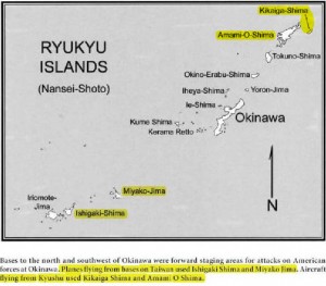
This Ryukus Island chain map comes from Robin L. Rielly’s 2010 book “Kamikazes, Corsairs, and Picket Ships: Okinawa, 1945.” It details the Imperial Japanese military’s airfields and radar facilities in the the Ryukus Island chain that staged and guided Kamikaze planes during the 1945 Okinawa campaign. Many of these facilities still exist in a much more modern form today.
