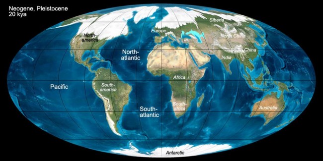
About 18,000 years ago, the Earth began to warm substantially. That was a really big deal, because the Northern Hemisphere was in an ice age. As much as 2 mile (~ 3-4 Km) thick ice sheets blanketed the northern continent. Because so much of the global water supply was locked up in ice, sea level dropped 350 feet (~ 120 m) and beaches and coastlines would have been miles further offshore than their current locations. Coastlines on the Atlantic Seaboard, and presumably globally, contain buried river channels cut deep into the continental shelf. During the Ice Age they weren’t buried, they were river valleys to then more distant shorelines.

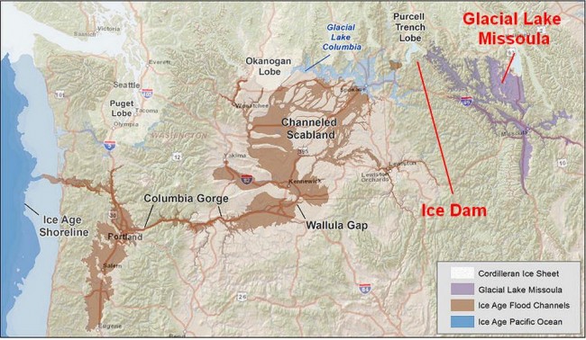
A wide lobe of the Cordilleran Ice Sheet crept across the valley of the Clark Fork River, eventually shutting off the flow completely, while the river pooled into the vast watershed behind it, including Missoula Valley, Flathead Valley, Thompson Valley, Mission Valley and Clearwater Valley. By 15,000-17,000 years ago the lake that was created, Glacial Lake Missoula, exceeded 2,000 feet (~ 600 m) in depth, had a surface area of ~3,000 square miles (6,500 Sq Km), and held 600 cubic miles (2,500 cubic Km) of water, as much as Lake Erie and Lake Ontario combined.


